
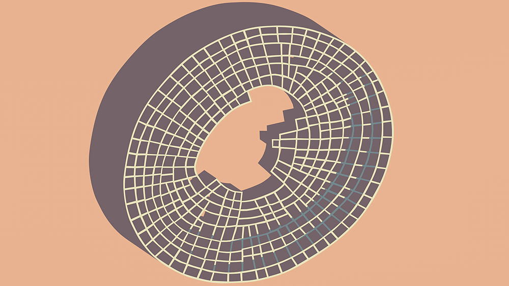
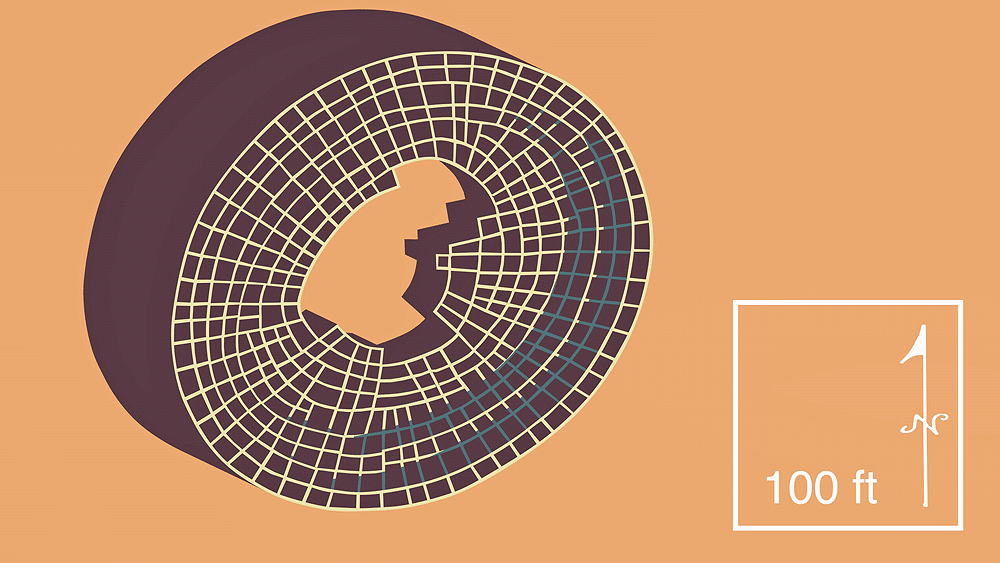
Deracho
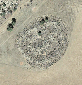
Zuni Ancestral Pueblo, constructed in 1250 C.E. and occupied until 1275 C.E.; located on the north bank of the Pescado River, on the Cebola Creek, just west of Ramah, New Mexico
Location coordinates: 35°07'26.3"N 108°31'29.2"W
35.123963, -108.524770
Elevation is 2091 meters (6861 feet) above sea level.
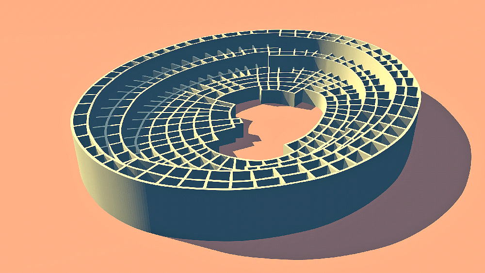
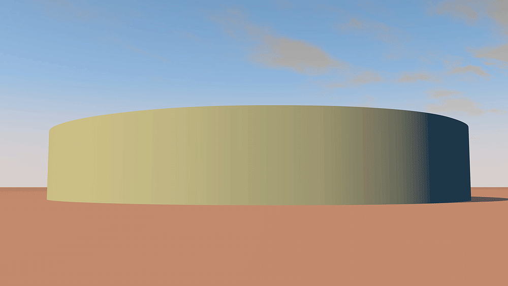
Materials: mortarless stone walls, wood log roof structure, with mud/clay roof.
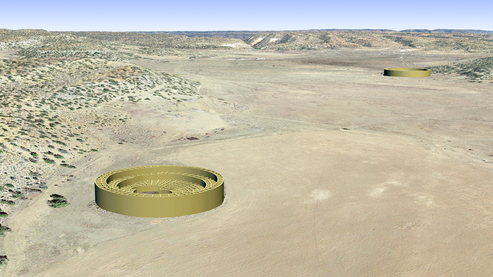
Photomontage of Deracho Pueblo and sister pueblo CG models, upon an aerial photo of the actual site near Ramah, New Mexico.

Thumbnail panels:
Data for CG model:
1. Morgan, William N., ANCIENT ARCHITECTURE OF THE SOUTHWEST, University of Texas Press, Austin, Texas, 1994.
1. Morgan, William N., ANCIENT ARCHITECTURE OF THE SOUTHWEST, University of Texas Press, Austin, Texas, 1994.
© 2023, Dennis R. Holloway Architect