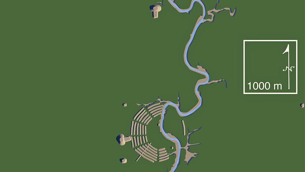
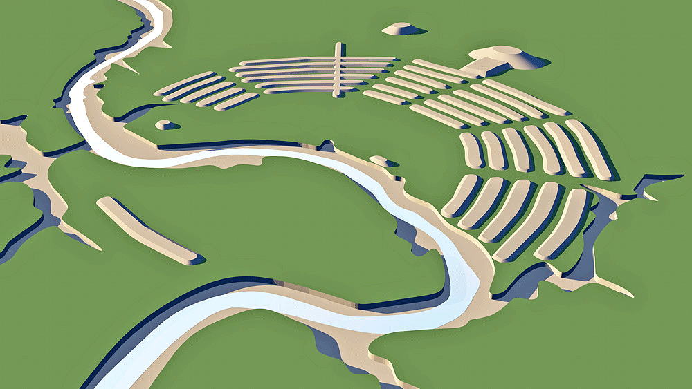
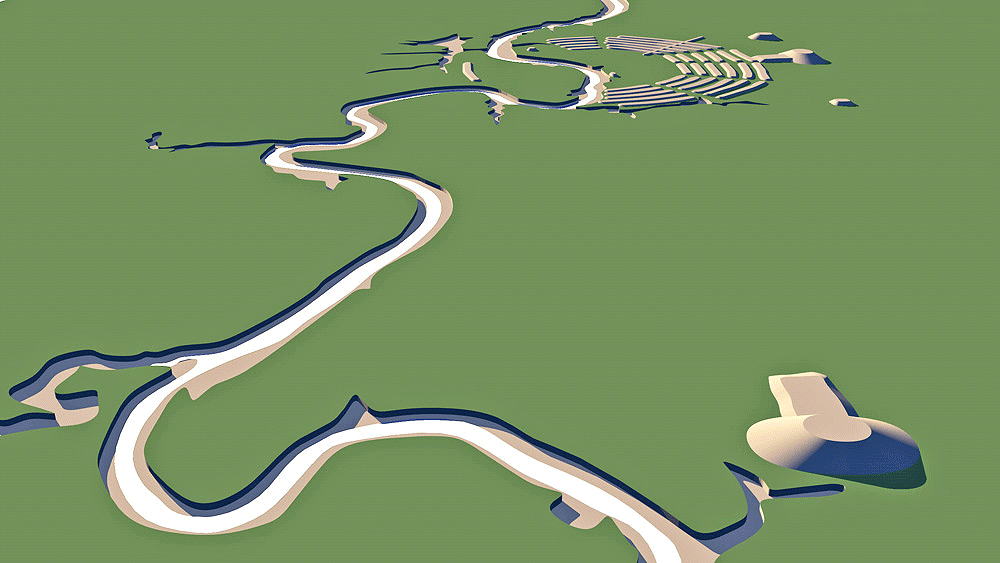
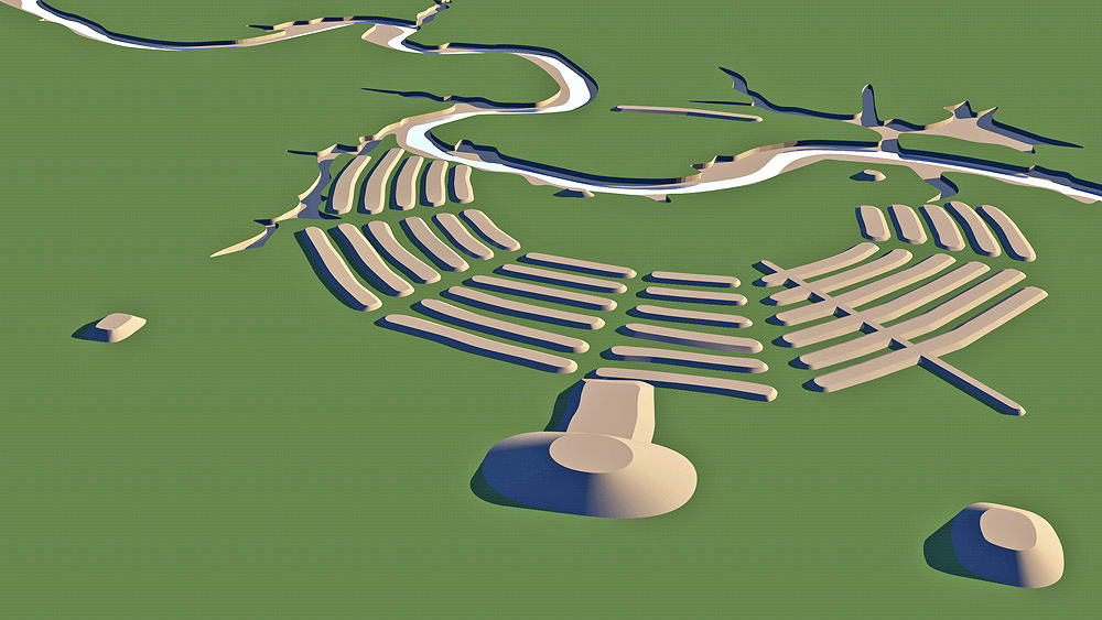
Poverty Point
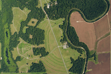
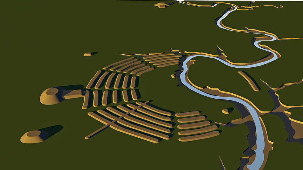
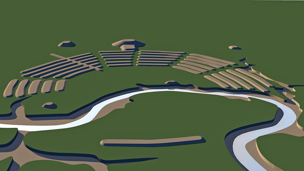
In the Late Archaic period of North America, Poverty Point culture hunter-gatherer tribes inhabited much of the Southeastern Woodlands, and between 1800 BCE and 1200 BCE built this earthwork, located in present-day Louisiana, near the village of Epps, about 24.9 km (15.5 miles) from the current Mississippi River. Hypothetical use of the immense earthworks include settlement, trading center, and occasional ceremonial center, and maybe all three uses. The concentric C-shaped ridges are unique to Poverty Point. Preparation for the mound construction involved filling gullies and low areas resulting in the large flat central area. How the inhabitants of Poverty Point might be related to any specific modern indigenous American tribes has, so far, not been shown. As they were not agriculturists, food was acquired through fishing, hunting, and gathering, and their diet consisted of large mammals such as deer, and possum, fish and turtles, mollusks, fruits, berries, nuts and acquatic roots.
Elevation: 29 meters (94 feet) above sea level.
Construction: earthworks made of loess (silty loam), covered with water erosion protective clays. Huts of wooden stakes and thatch may have been construction on the mound ridges, although this is controversial.
Data for CG model:
1. Morgan, William N., 1980. Prehistoric Architecture in the Eastern United States, MIT Press, Cambridge, Massachusetts and London, England,
2. Poverty Point (16WC5) Map, Center for Archaeolgoy, Tulane University, 1999.