
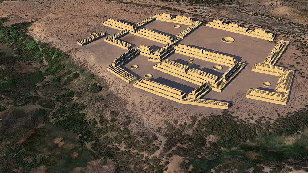
Sapawe'uinge ("Place of the Rushing Waters") Pueblo Ruin
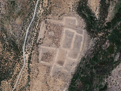
Tewa Culture ancestral village, occupied from 1350 C.E. to 1550 C.E.; located on a terrace on the west bank of the El Rito River, about 1km south of El Rito (the southern one), New Mexico.
Location coordinates: 36°17'57.5"N 106°09'27.4"W
36.299298, -106.157600
Elevation is 1992 meters (6537 feet) above sea level.
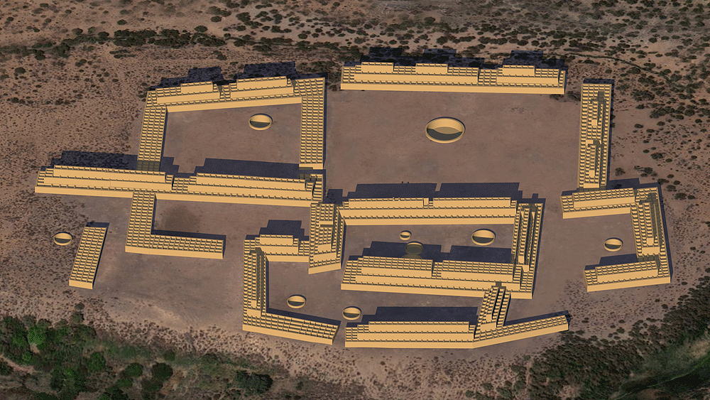
Materials: adobe walls, wood log roof structure, with mud/clay roof.
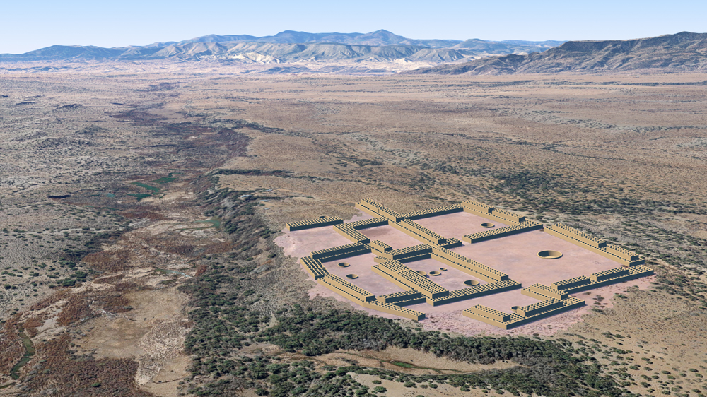
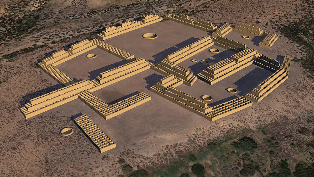
Photomontage of Sapawe'uinge Pueblo CG model upon aerial photo of the actual site, looking southwest toward Abiquiu village and the Jemez Mountains of New Mexico.
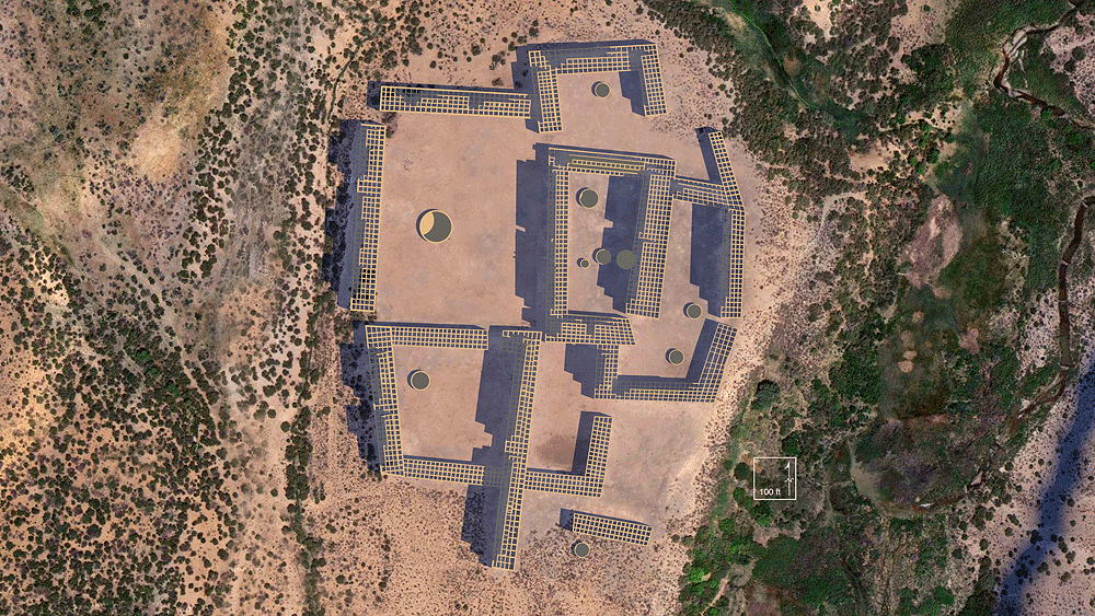
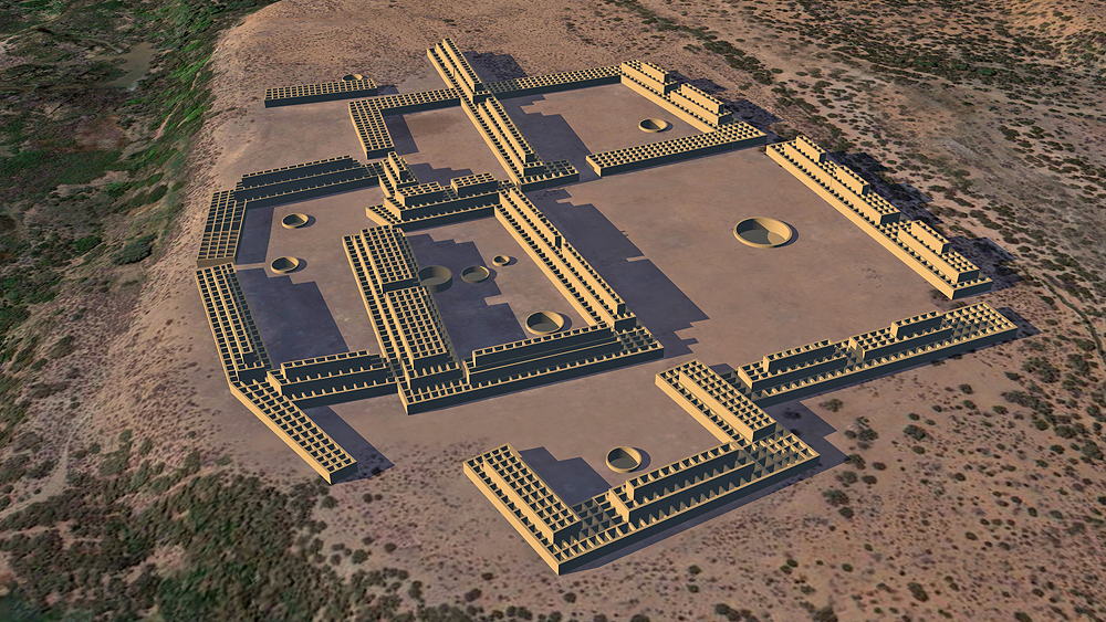
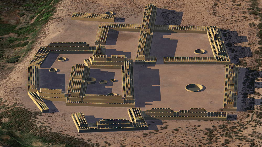
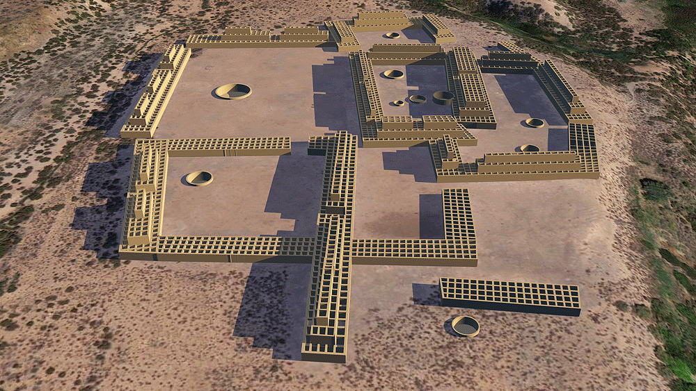
Thumbnail panels:
Data for CG model:
1. Morgan, William N., 1994. ANCIENT ARCHITECTURE OF THE SOUTHWEST, University of Texas Press, Austin, Texas.
2. Windes, Thomas C., and McKenna, Peter J. , 2018; A Reconnaissance of the Archaeology of Sapawe, an Ancestral Tewa Village in the Rio Chama Valley, Northern New Mexico, Papers of the Archaeological Society of New Mexico, Volume 44, 2018
© 2023, Dennis R. Holloway Architect