Copan
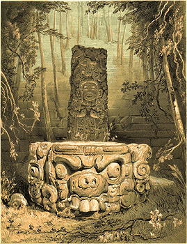
Above left: Idol and altar at Copan, Views of ancient monuments in Central America, Chiapas, and Yucatan, by Frederick Catherwood, 1839.
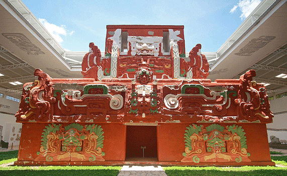
Above right: A life-size replica of the Rosalilla Temple (8th Century CE) at the Copan site museum.T he Rosalila Temple was extremely well-preserved, as the inhabitants of Copan carefully and ceremoniously buried it under a pyramid, when it was no longer used.
Southern Mayan Civilization, Classic Period, 5th to 9th centuries C.E.,
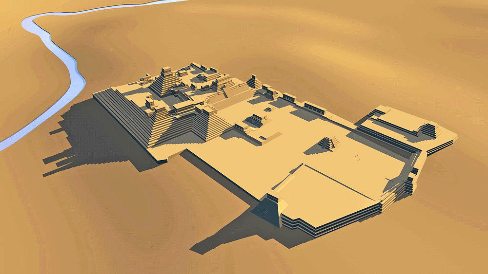
Honduras (just East of Guatemala border) on Rio Copan; in 1980 it was declared a UNESCO World Heritage Site.
Location coordinates: 14°50'13.7"N 89°08'28.1"W
14.837144, -89.141148
Elevation is c. 609 meters (2000 feet) above sea level.
Materials: stone.
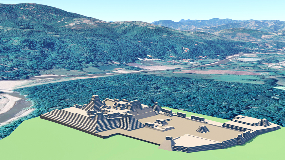
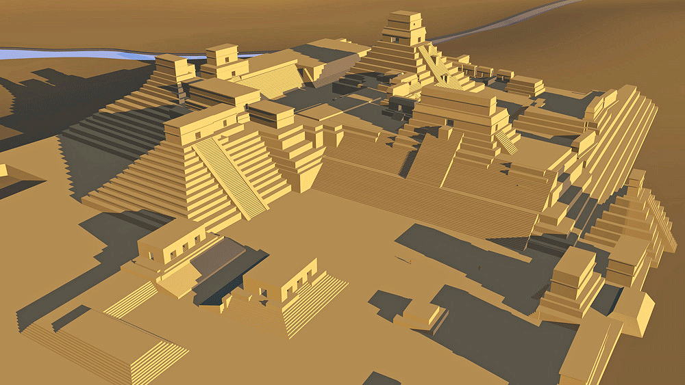
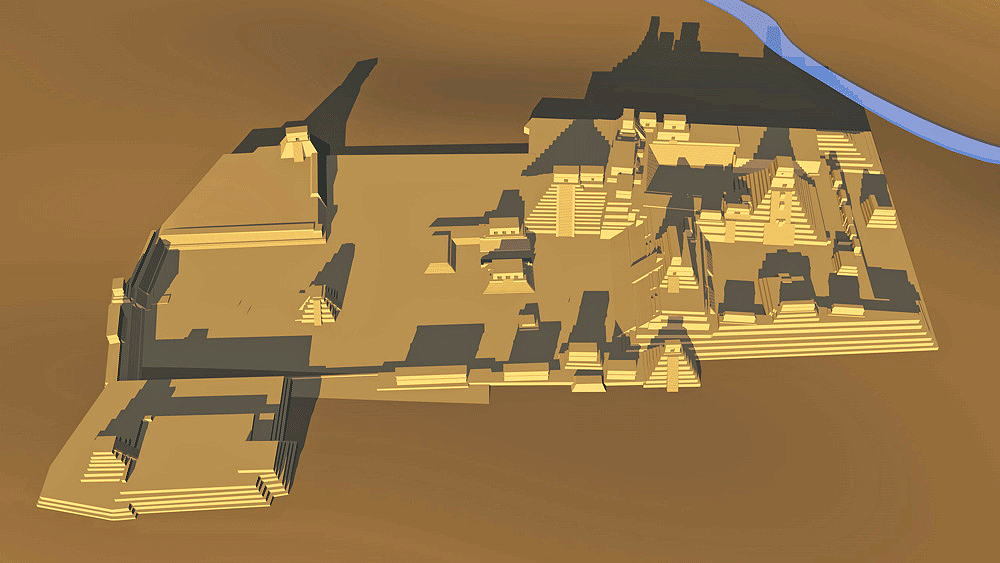
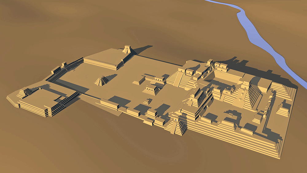
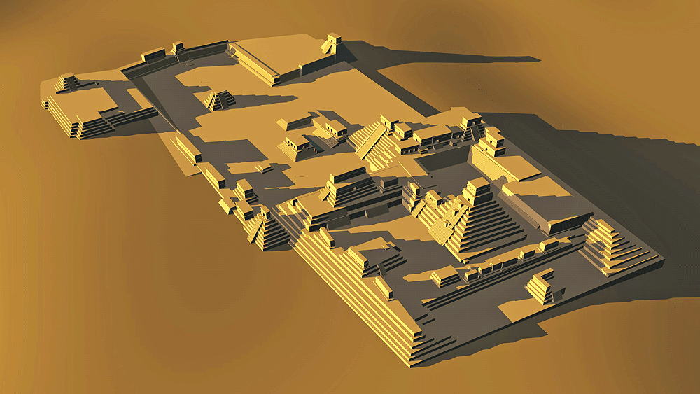
Photomontage of Copan upon aerial photo of actual site looking southwest with Rio Copan beyond.
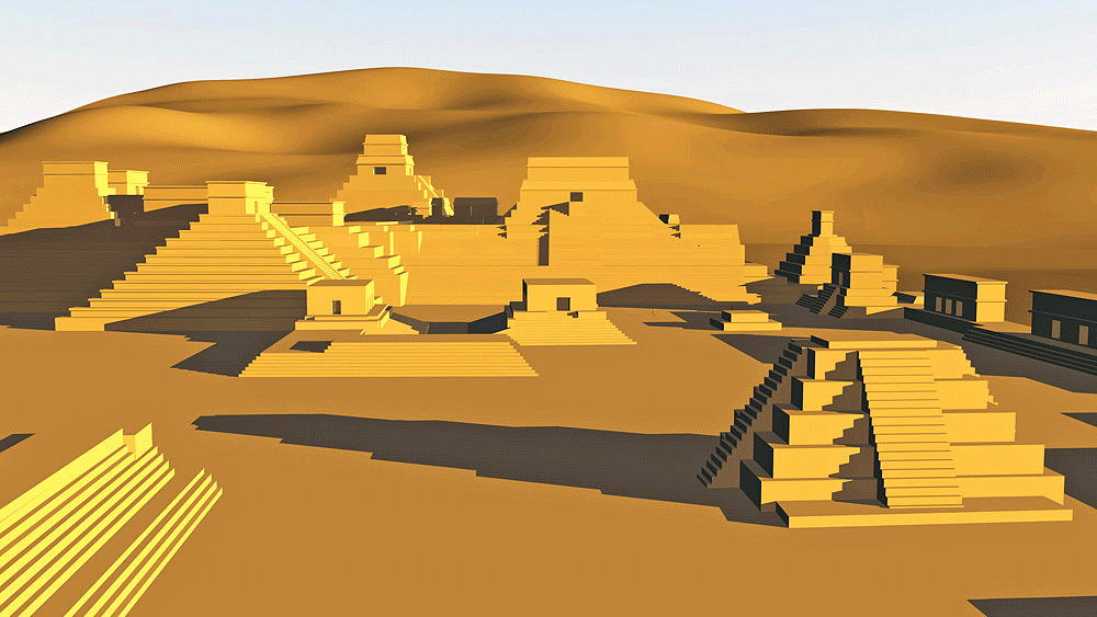
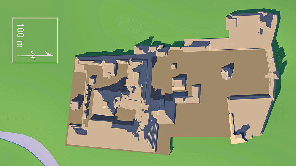
Data for CG model:
1.Andrews, George F., 1975. Mayan Cities, Placemaking and Urbanization, University of Oklahoma Press, Norman, Oklahoma,
2.Proskouriakoff, Tatiana, 1946. An Album of Maya Architecture, Carnegie Institution of Washington, Washington, DC,
3.Sharer, Robert J.; Sedat, David W.; Traxler, Loa P.; Miller, Julia C.; and Bell, Ellen E. (2005). "Early Classic Power in Copán". In E. Wyllys Andrews & William L. Fash (eds.). Copán: The History of an Ancient Maya Kingdom. Santa Fe, New Mexico, USA.: School of American Research Press. pp. 139–199.