Deir el-Medina (Set Maat - "Place of Truth")
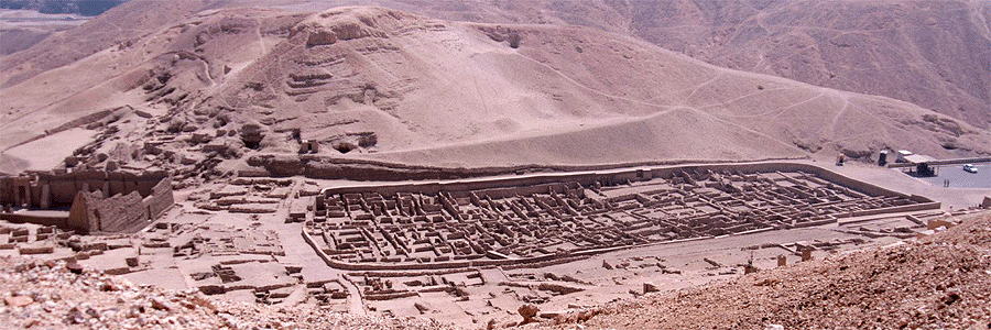
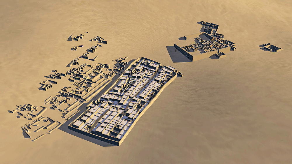
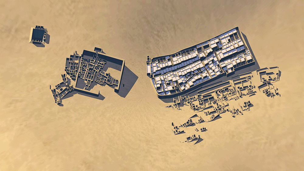
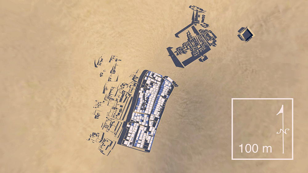
Egyptian Civilization; this ancient village was home to the artisans who built the Pharaonic tombs in the Valley of the Kings, Egypt, 18th to 20th dynasties of the New Kingdom period, c. 1550-1080 B.C.E.; located on the west bank of the Nile River, across from Luxor, and an easy walking distance to the Valley of the Kings (north), funerary temples (east), and the Valley of the Queens (west). The village is a distance from the main population of the time, possibly to preserve secrecy of the work of the Pharaohs. The necropolis for the village artisans is on the hillside adjacent to the walled village, shown in the computer model as the fragments of the ruins. Temples of Hathor, Amenhotep, Hathor chapel of Seti, and Roman and votive chapels are located just north of the village; a 50 meter deep by 30 meter diameter failed attempt at excavating a water well to Nile River water table is located northeast of the Temples. A longitudinal cross-section model of a typical artisan village house house is shown below.
Elevation is c. 110 meters (360 feet) above sea level.
Materials for construction: adobe walls over stone low walls/foundations (to wainscot height), and roofs of palm log beams topped with reed and clay; the higher central roof structure is supported by a single carved column made from a palm log; walls were plastered white to reflect the heat from the intense sunlight. The Old Egyptian word, tōbe, for brick, is the origin of the Spanish word "adobe" for mud bricks.
Data for CG model:
1. http://www.ifao.egnet.net/archeologie/deir-el-medina/
2. http://www.ifao.egnet.net/uploads/images/sites/deir-el-medina/2_plan_topo_village_DeM.jpg
3. http://www.worldhistory.biz/ancient-history/58537-lits-clos.html