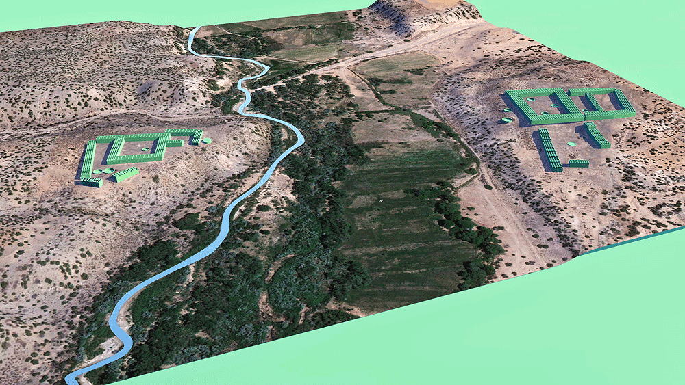
Hupobi Pueblo and Howiri Pueblo
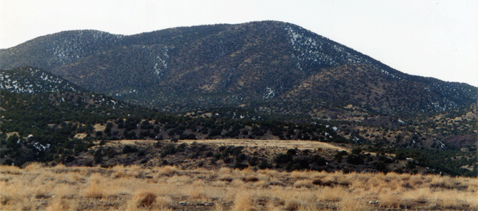
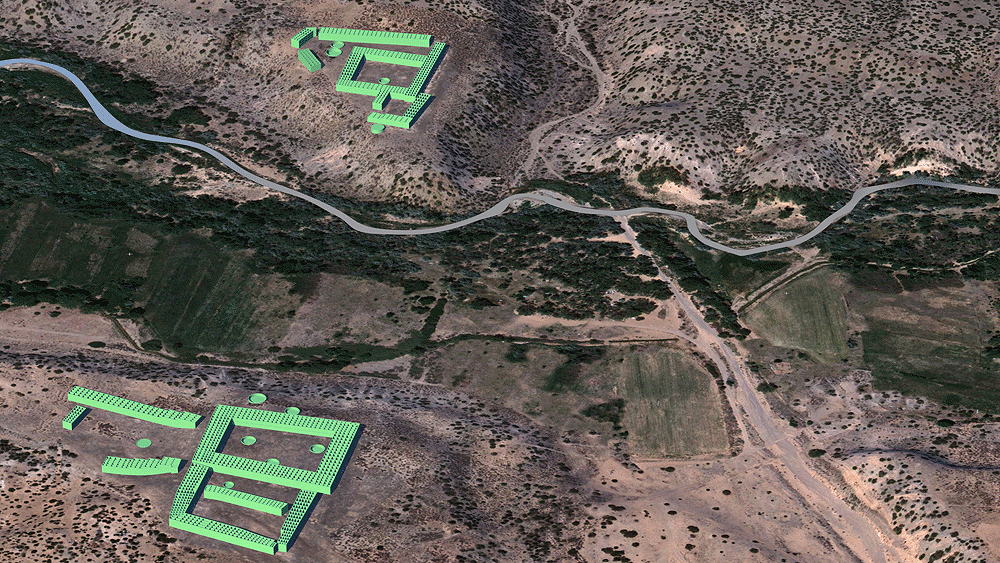
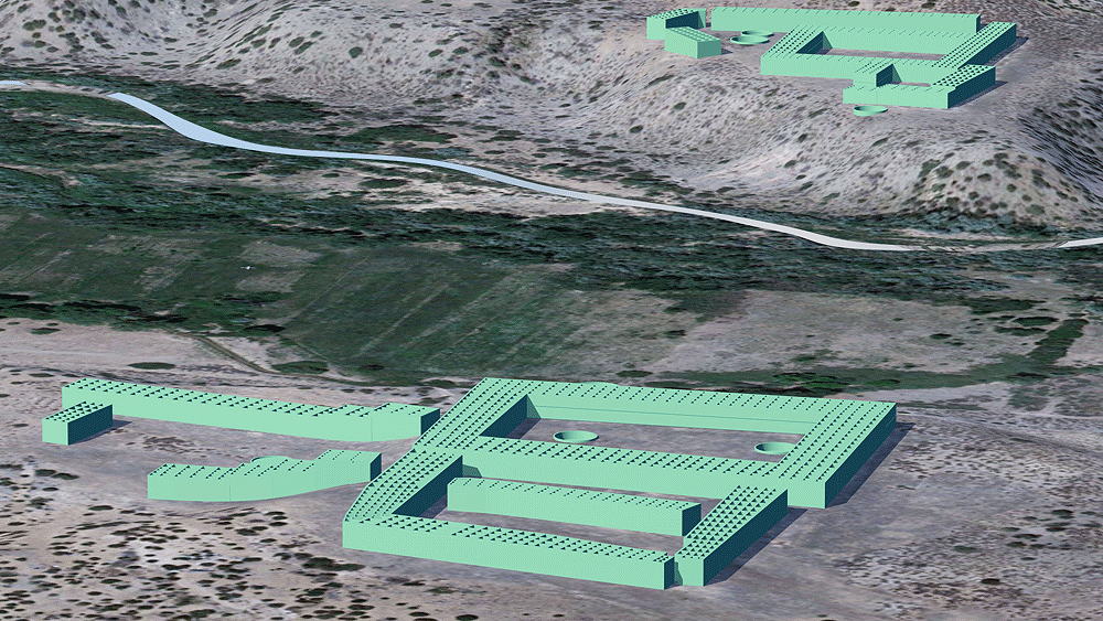
Above: View west from New Mexico Highway 285. The grassy area in the foreground is the ruin of Howiri Puelbo, and the grassy area in the distance on the far side of the Rio Ojo Caliente, is the ruin of Hupobi Pueblo.
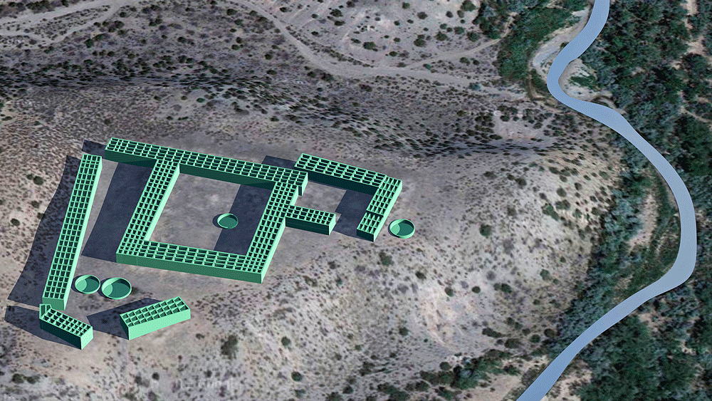
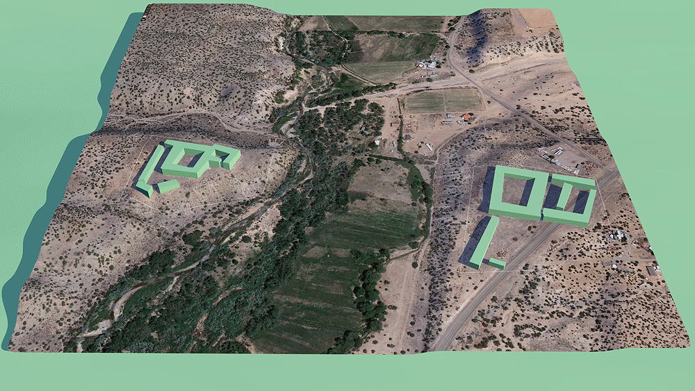
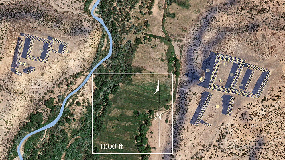
Tewa ancestral Puebloan Culture; village, occupied from 1350 C.E. to 1550 C.E.; located about a mile north of the hot springs of Ojo Caliente, New Mexico on the Rio Ojo Caliente. In the scaled image #7 below, Howiri Pueblo is on the right, and Hupobi Pueblo is on the left.
Elevation of Hupobi is 1950 meters 1941 meters (6396) above sea level. Elevation for Howiri is (6370 feet) above sea level.
Materials: adobe walls, wood log roof structure, with mud/clay roof.
Data for CG model:
1.Survey topography maps from the U.S. Department of Interior Bureau of Land Management, Taos, New Mexico, 1990