
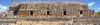
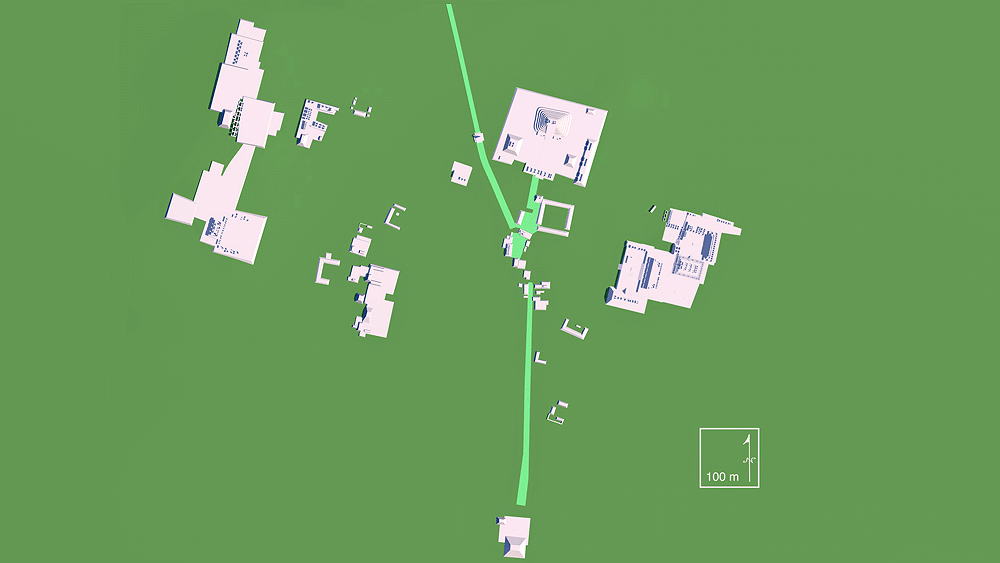
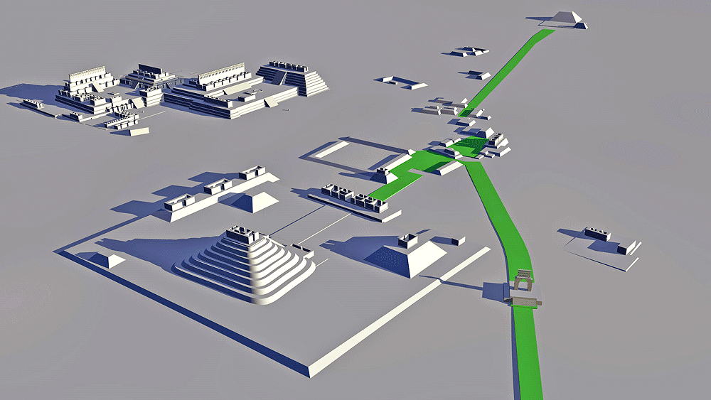
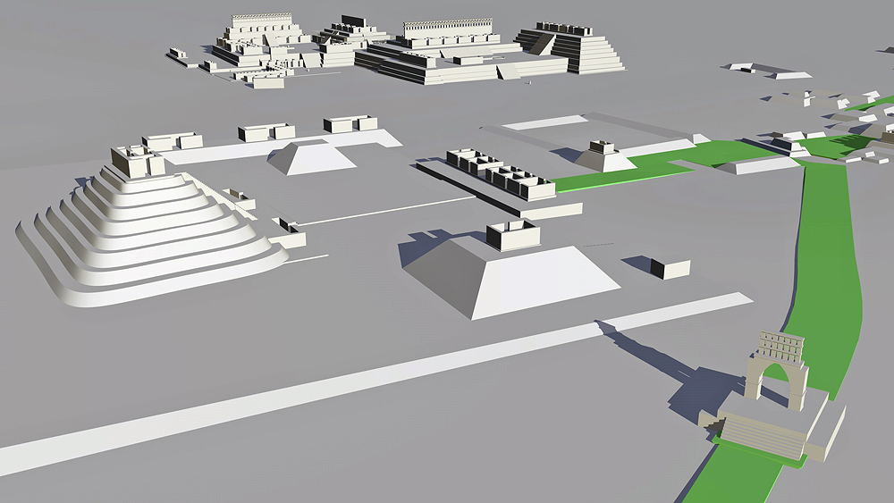
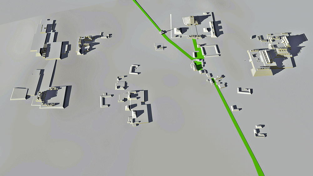
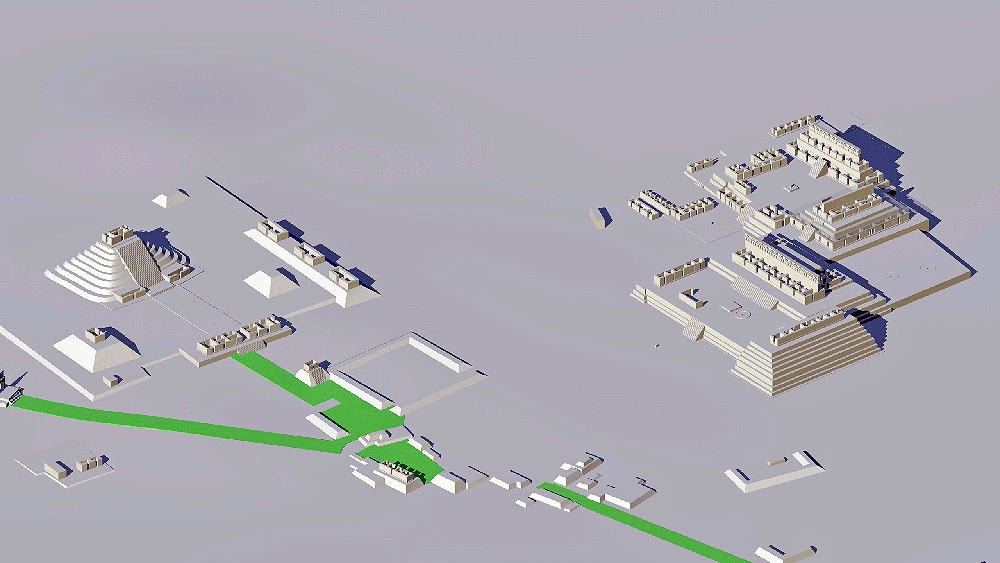
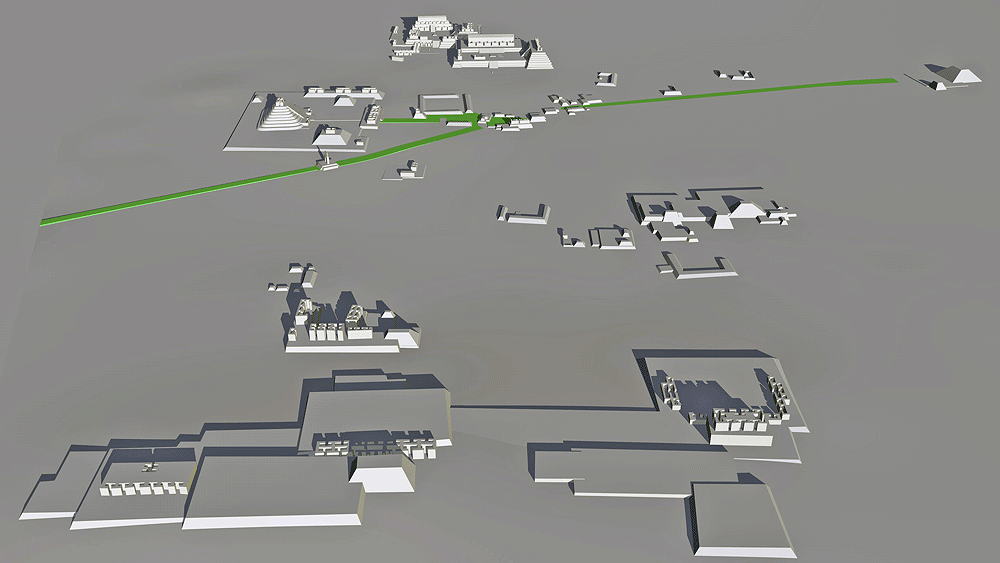
Kabah
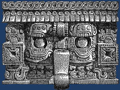
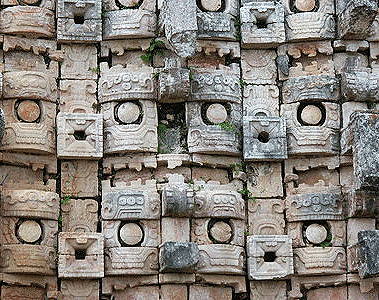
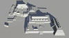
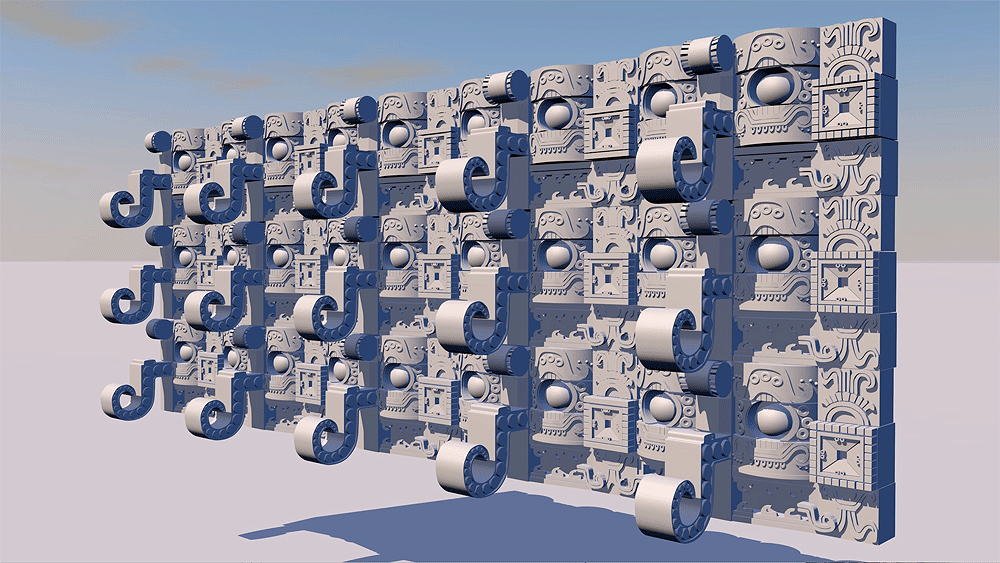
Maya Civilization, 300 B.C.E. to 1000 C.E. Located in the Kabah State park, Puuc region, western Yucatan, south of Merida, Mexico near the ancient city of Uxmal. Model of Palace of Masks Wall detail shown is at author's current computer memory processing limit.
Elevation is c.70 meters (231 feet) above sea level.
Materials: stone.
Data for CG model:
1.Andrews, George F., 1975. Mayan Cities, Placemaking and Urbanization, University of Oklahoma Press, Norman, Oklahoma.
2. George F. Andrews, Architectural Survey at Kabah,Yucatan, University of Oregon, Map based upon Shook map also included in Pollock (1980).

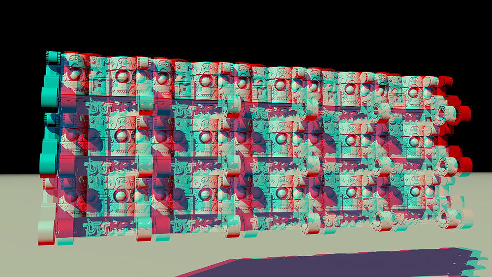
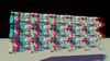 A projection in stereo 3D of a detail of Kabah's Palace of Masks, Codz Poop ("rolled matting"). The famous frieze is a repetitious depiction of the Long Nosed Rain God, Chaac ( Protector of the Harvest), thought by some to be a cultural memory of the wholly mammoth or elephant. The image can be viewed in full stereo 3D using red/blue glasses.

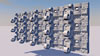
Thumbnail panels:
© 2021, Dennis R. Holloway Architect