
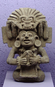

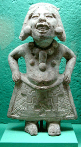
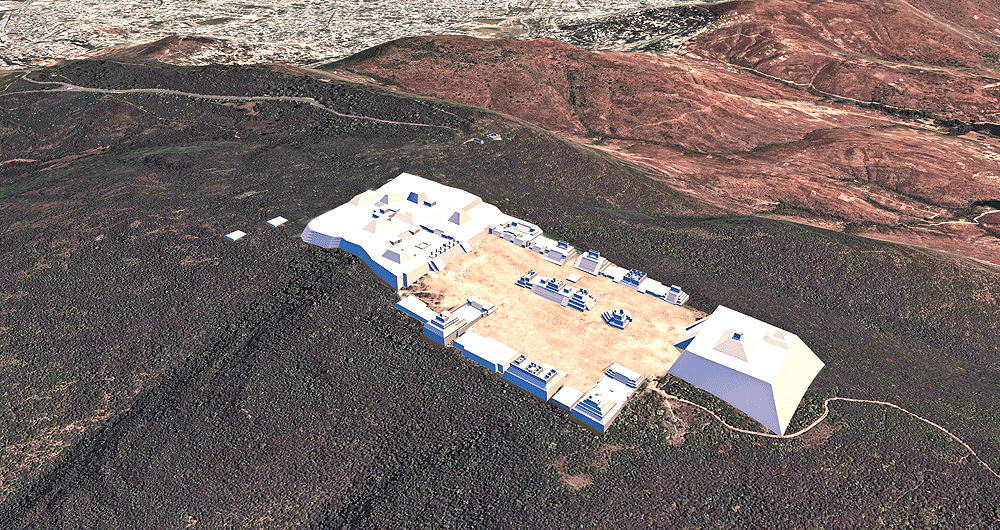
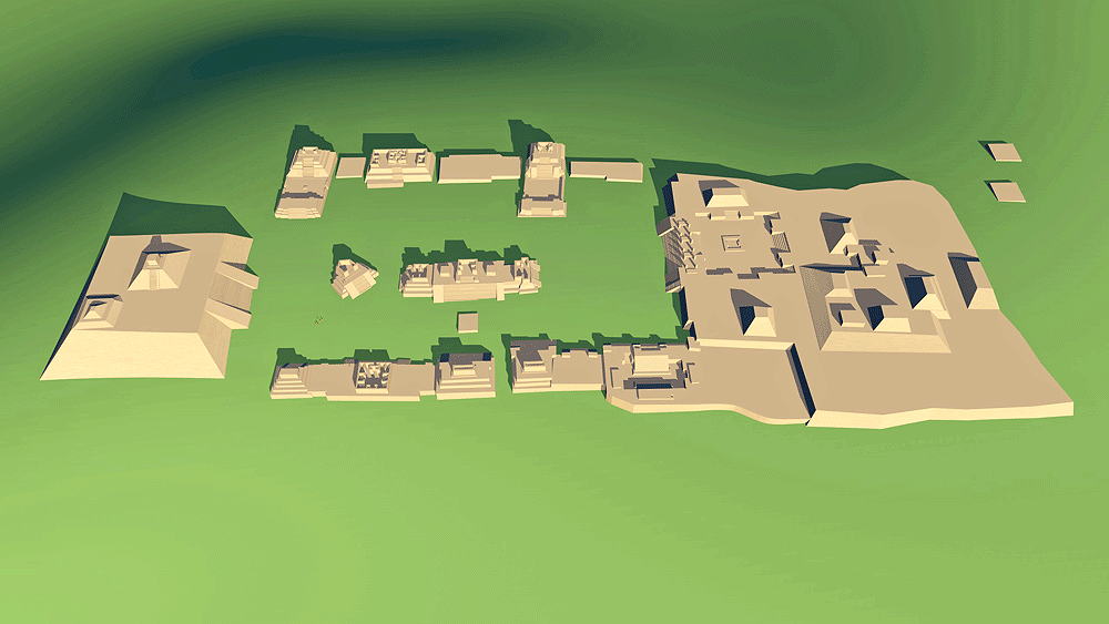
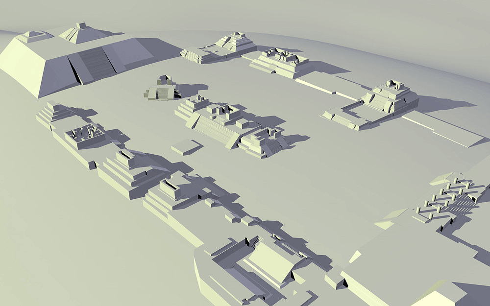
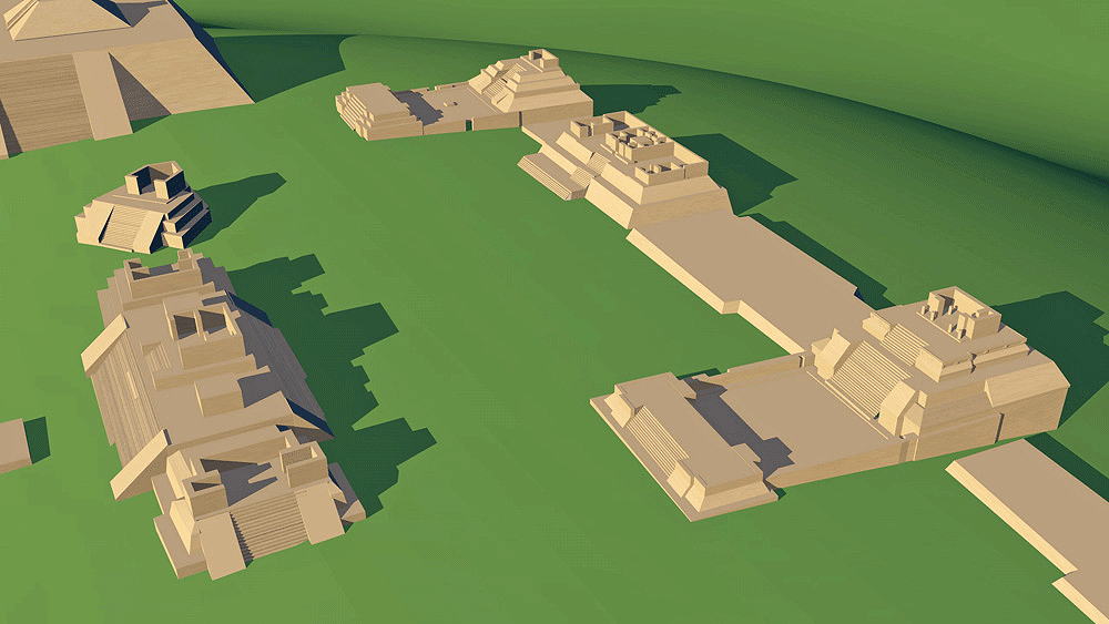
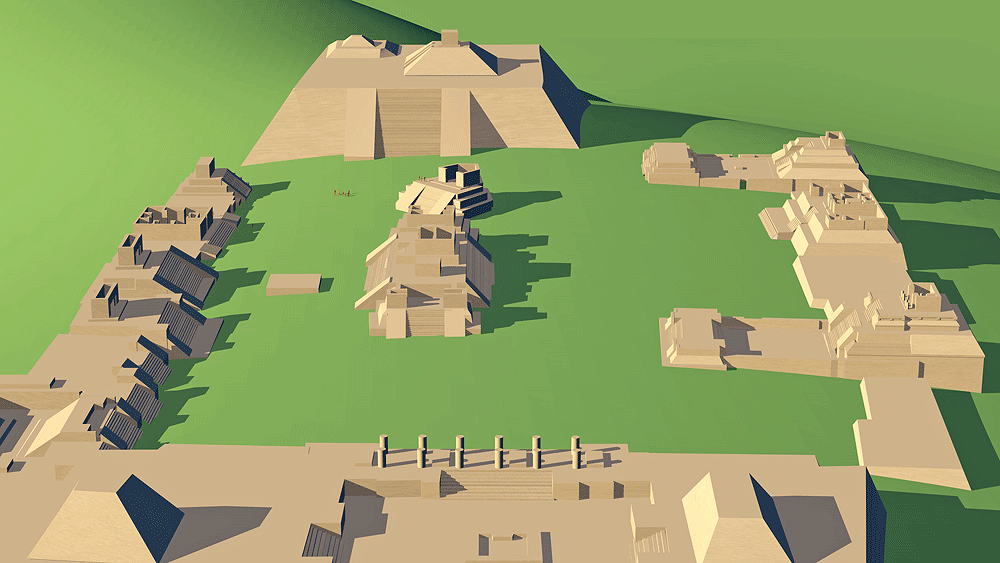
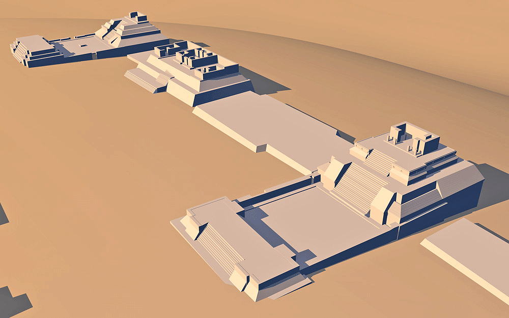
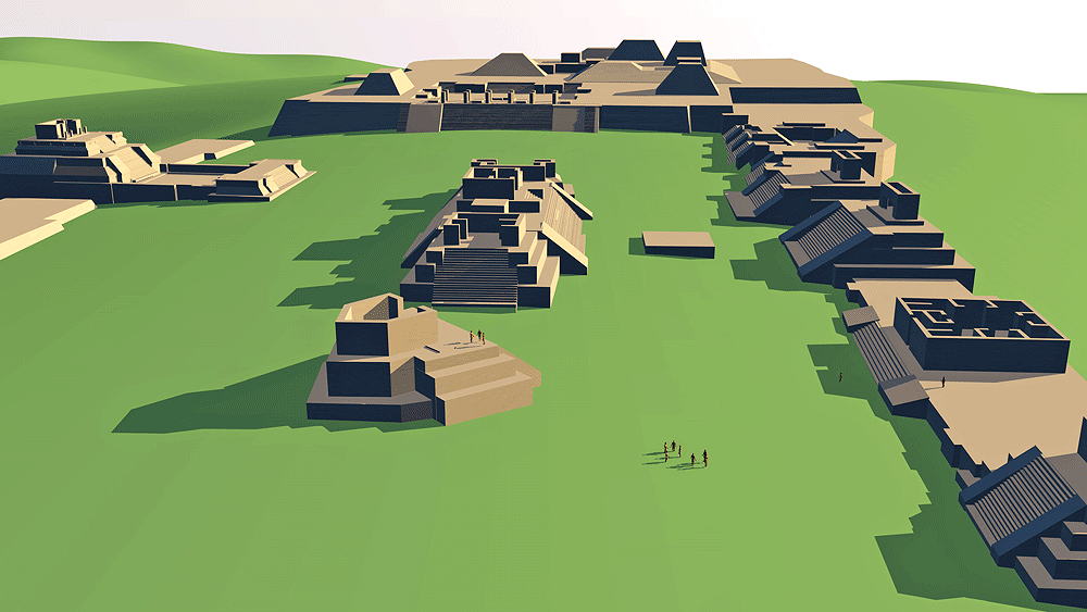
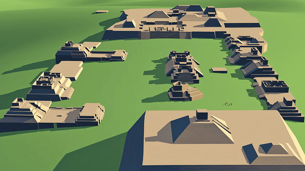
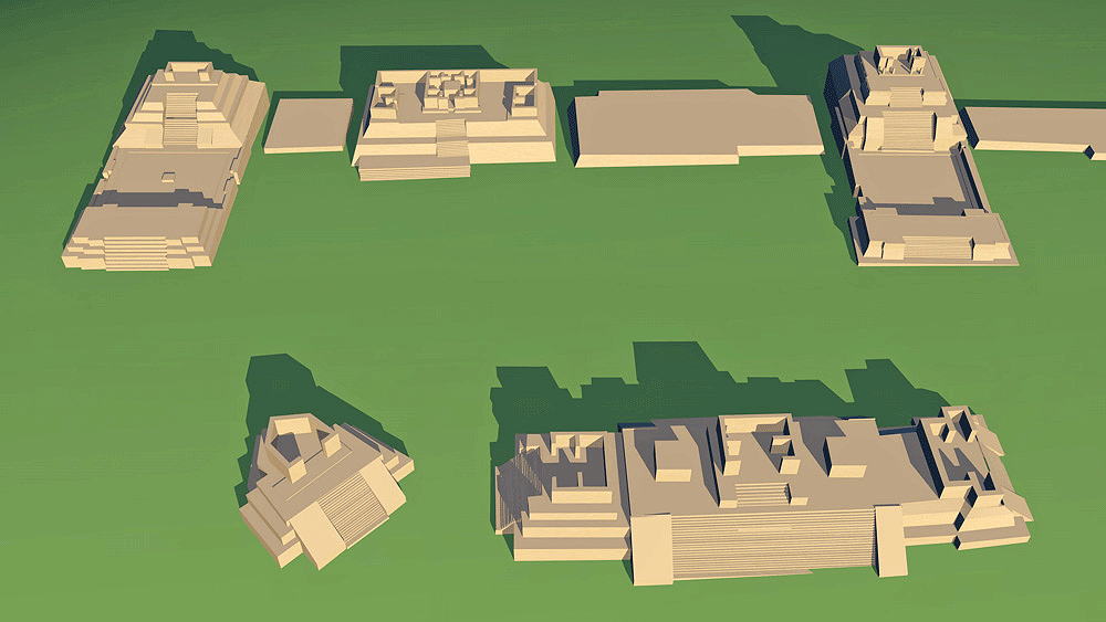
Zapotec Civilization, ceremonial center from 500 B.C.E. to 750 C.E. Located 9 km west of Oaxaca, in Southern Mexico.
Location coordinates: 17°02'36.3"N 96°46'05.9"W
17.043429, -96.768307
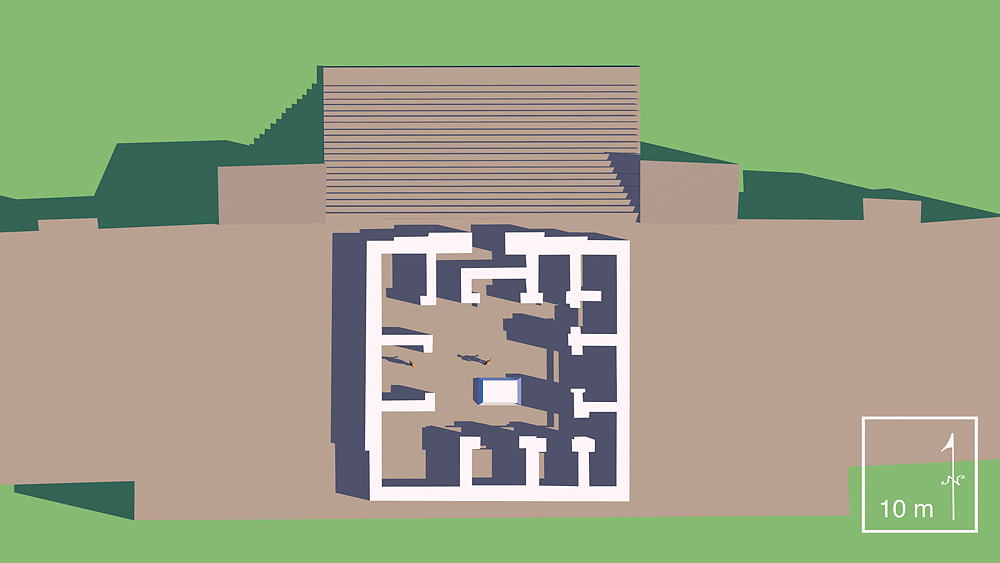
Elevation is c. 1921 meters (6303 feet) above sea level.
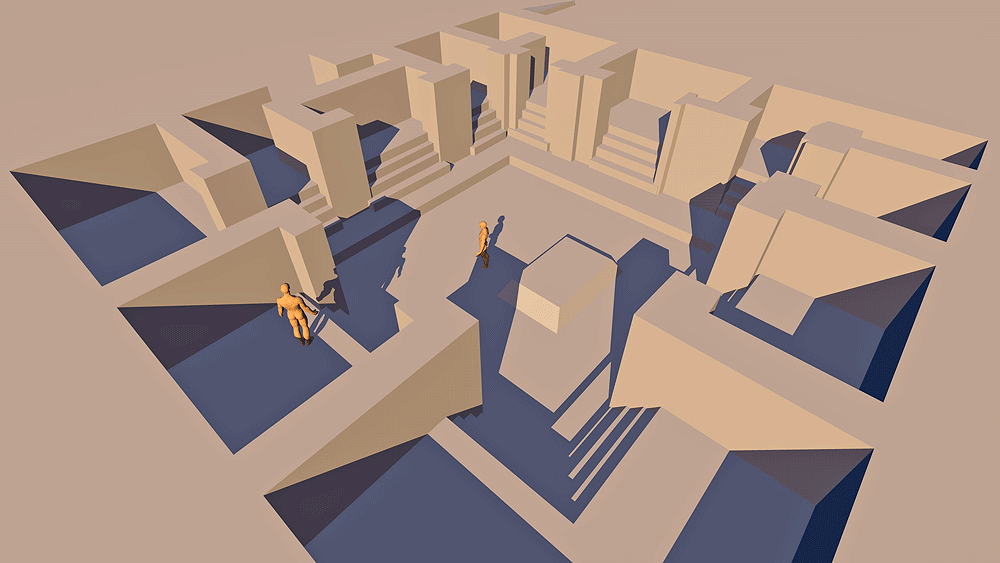
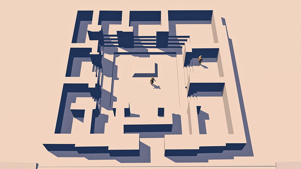
Materials: stone.
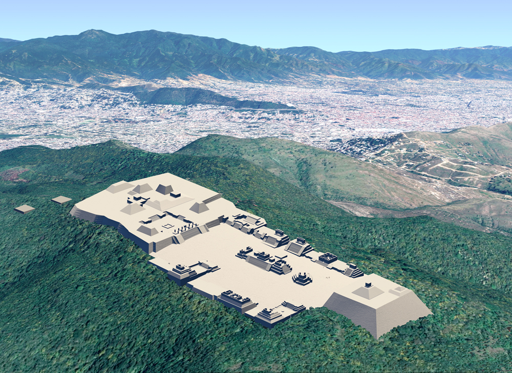
Photomontage of Monte Alban upon aerial photo of actual site high above the City of Oaxaca, Mexico looking northeast.
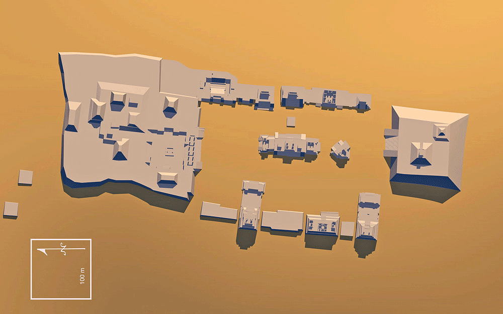
Data for CG model:
1.CyArk Laser scan data from Monte Alban: http://archive.cyark.org/monte-alban-intro Leica Geosystems - Frank Collazo, CyArk - Justin Barton, Technical Services Manager.
2. Stierlin, Henri, 1986. Encyclopedia of World Architecture, Van Nostram Reinhold, New York, Monte Alban plan, pp. 360-361.

Thumbnail panels:
© 2009, Dennis R. Holloway Architect