Palenque (Maya: Lakamha - "Big Water")


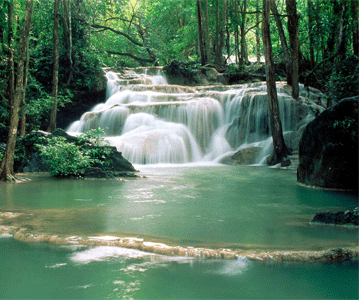
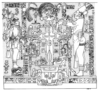
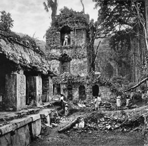
Maya Civilization, Early to Late Classic a city-state from 226 B.C.E. until decline in 799 C.E. Located near the Rio Usumacita in the Mexican state of Chiapas, Mexico, 130 km south of Ciudad del Carmen. The distinctive stone architecture of the city in integrated into myriad clear streams that emerge from the sloped mountan foothills site. Wars with nearby states of Calakmul and Tonina caused tumultuos times and reconstrucions during the centuries of growth of Palenque, eventually resulting in its abandonment, after which dense forest obscured it from view. In the late 18th century, Spanish colonists began exploration of the ruins. Today tourists visit only 10% of the entire city of 2.5 km², primarily the central Palace, Temple of the Inscriptions, and Temple of the Foliated Cross, with the remainder of the city still covered by jungle and only superficially explored. This model was informed by the amazing work of archaeolgist, Edwin Barnhart.
Location coordinates: 17°29'03.4"N 92°02'45.5"W
17.484272, -92.045969
Elevation is c. 146 meters (480 feet) above sea level.
Materials: stone and lime plaster.

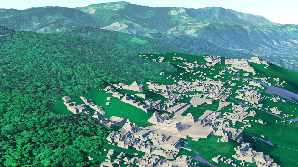
Photomontage of Palenque upon photo of actual site looking west. The central Palace, Temple of the Inscriptions, and Temple of the Foliated Crossare seen in the central forground.
Data for CG model:
1.Barnhart, Edwin L., 2001. The Palenque Mapping Project: Settlement and Urbanism at the Ancient Maya City. University of Texas.
2.French, K., Duffy, C.,& Bhatt, G., 2012; THE HYDROARCHAEOLOGICAL METHOD: A CASE STUDY AT THE MAYA SITE OF PALENQUE, Pennsylvania State University, published in Latin American Antiquity 23(1), Society for American Archaeology.
3. Schele, Linda, & Freidel, David, 1990; A Forest of Kings, The Untold Story of the Ancient Maya, HarperCollins Publishers, New York, N.Y.


