
San Cristobal Pueblo Ruin
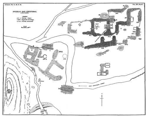
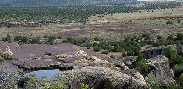
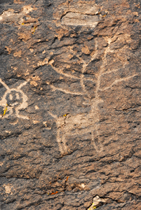
Top: Survey of San Cristobal Pueblo, N.C. Nelson, 1914. Bottom left: San Cristobal site photograph: Bottom right: Petroglyph on site.
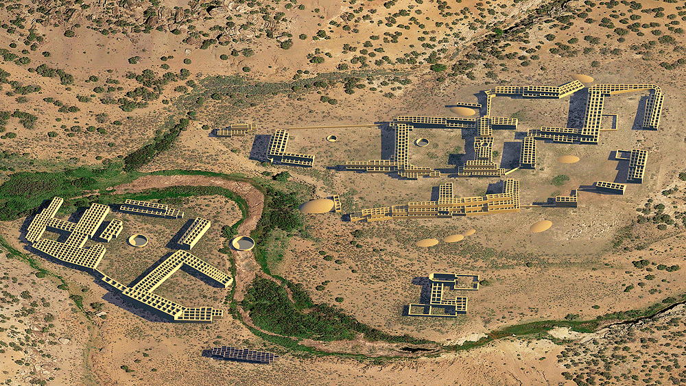
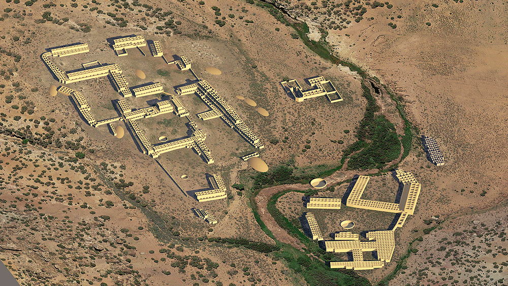
Ancestral Southern Tiwa culture (Isletta Pueblo), 1300 C.E. to mid-17th Century C.E., located on the banks of the San Cristobal Arroyo, 12 km east-southeast of Galisteo, New Mexico.
Location coordinates: 5°22'51.8"N 105°50'41.9"W
35.381049, -105.844957
Elevation is 1902 meters (6240) feet above sea level.
Materials: mortarless stone walls, adobe walls, wood log roof structure, with mud/clay roof.
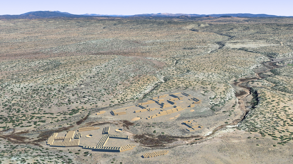
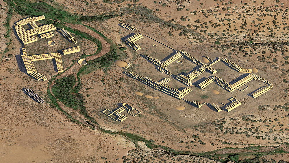
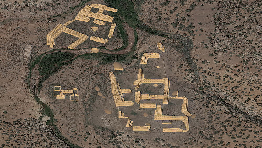
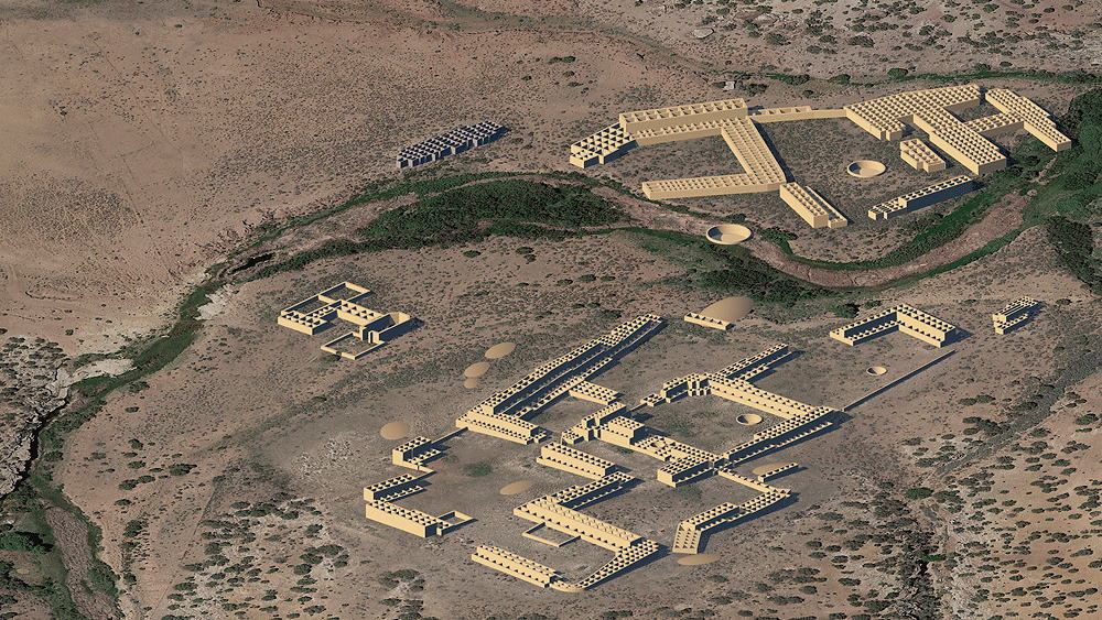
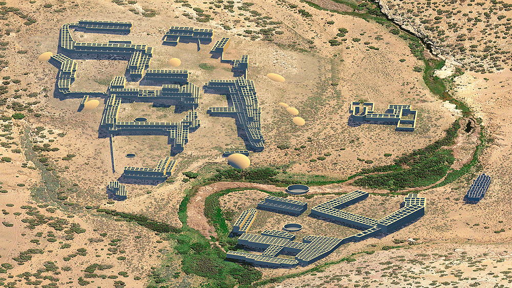
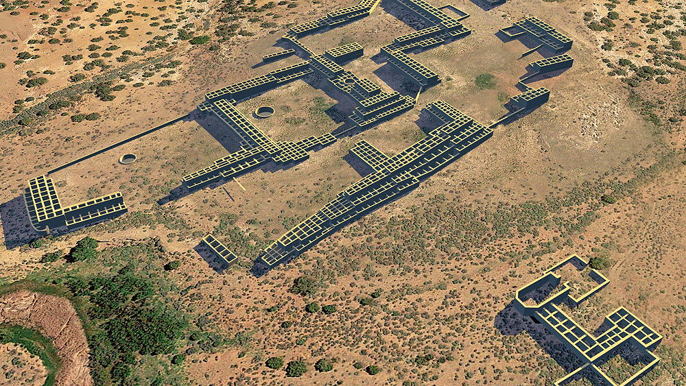
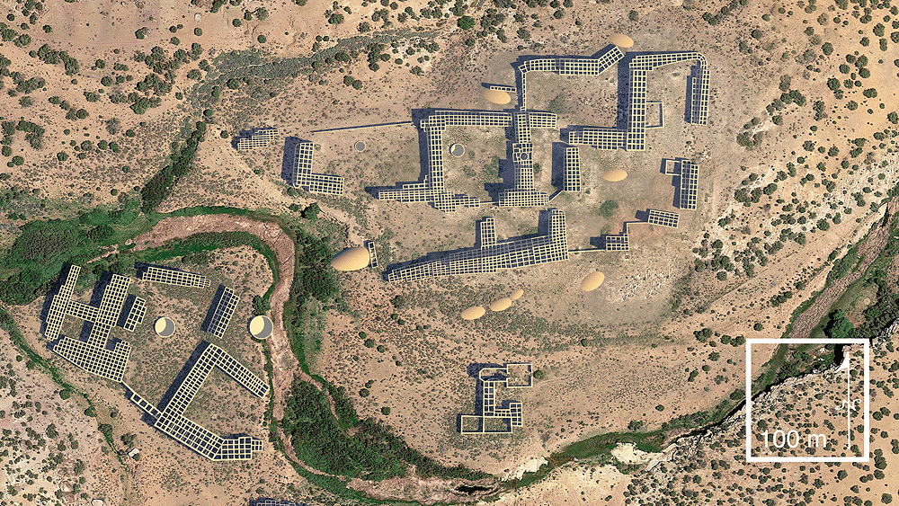
Photomontage of San Cristobal Pueblo upon aerial photo of actua site, in the Galisteo Basin, looking northeast toward Sangre de Cristo Mountains.
Data for CG model:
1. Nelson, Nels C, 1914. Pueblo ruins of the Galisteo basin, New Mexico (Anthropological papers of the American museum of Natural History. Vol. XV, pt. I. The Trustees. 1914)
1. Nelson, Nels C, 1914. Pueblo ruins of the Galisteo basin, New Mexico (Anthropological papers of the American museum of Natural History. Vol. XV, pt. I. The Trustees. 1914)