
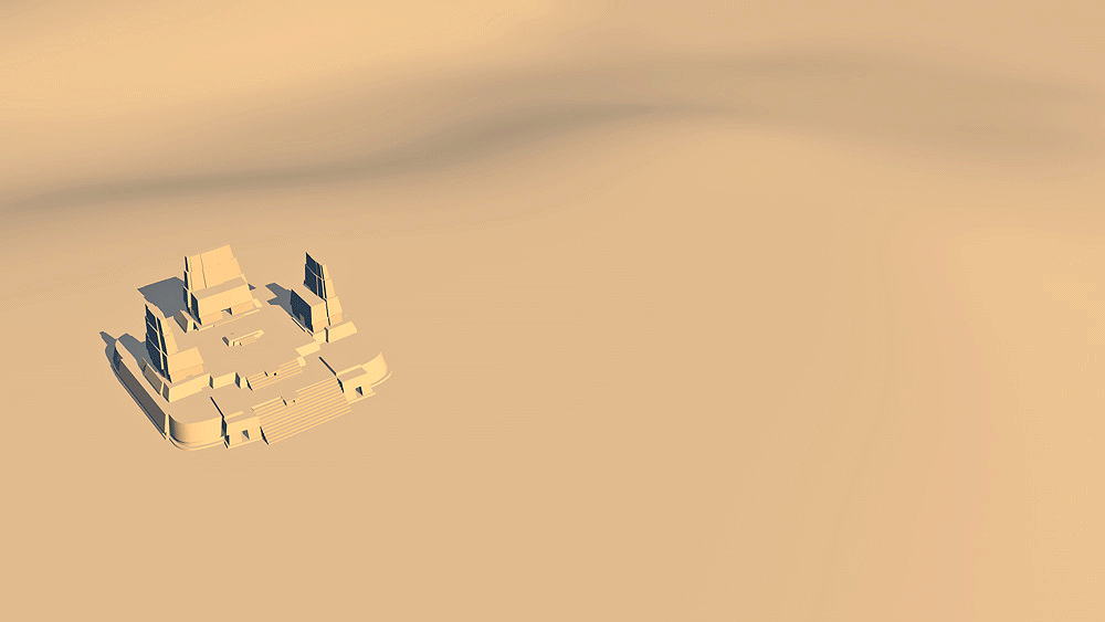
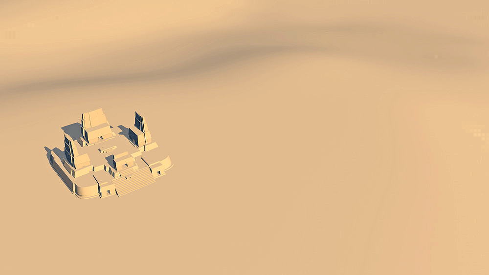
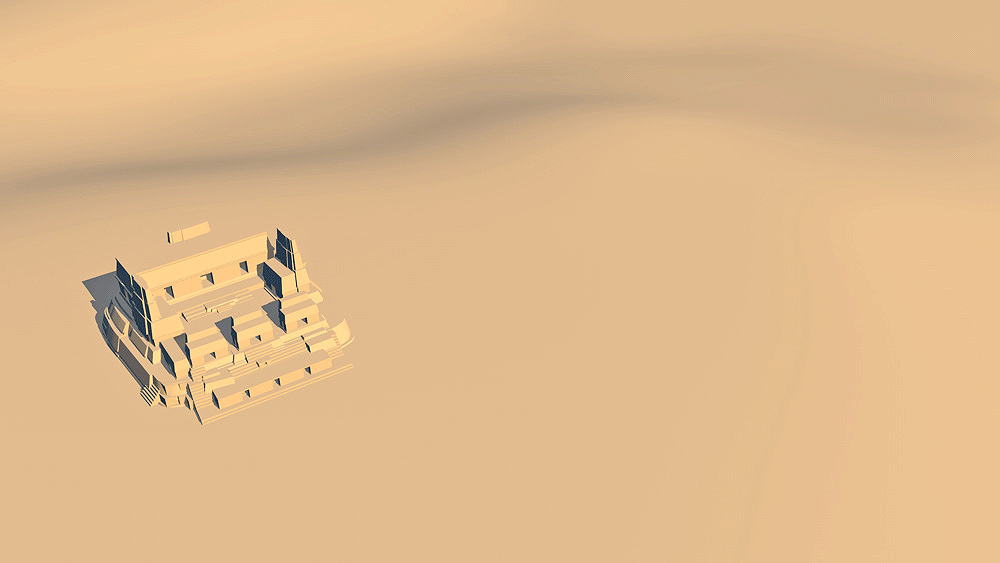
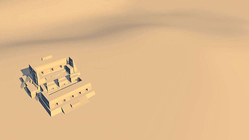
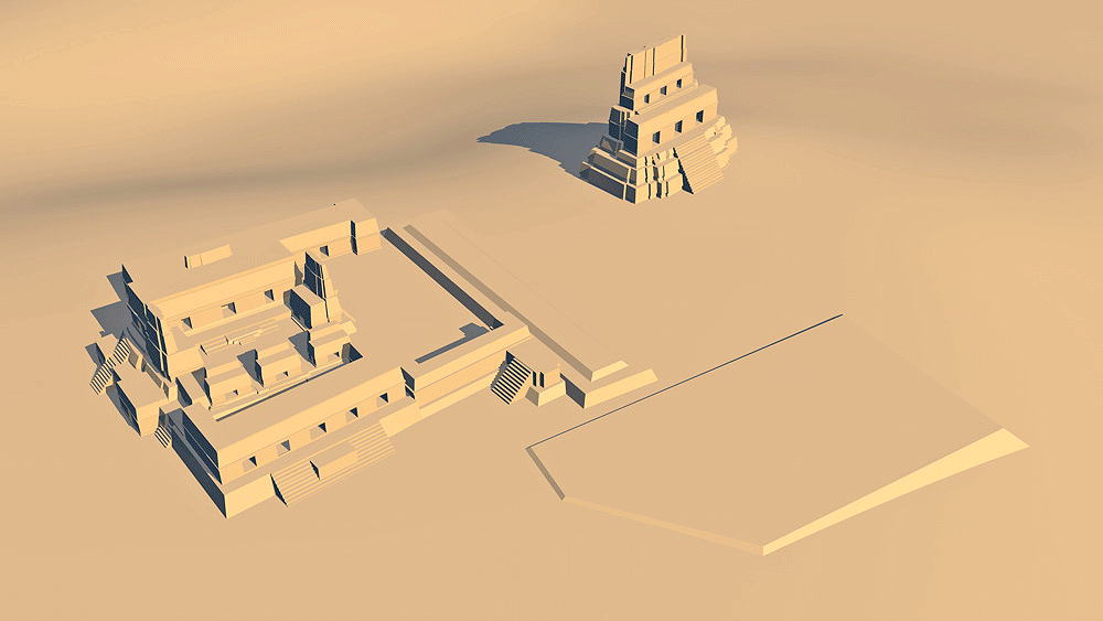
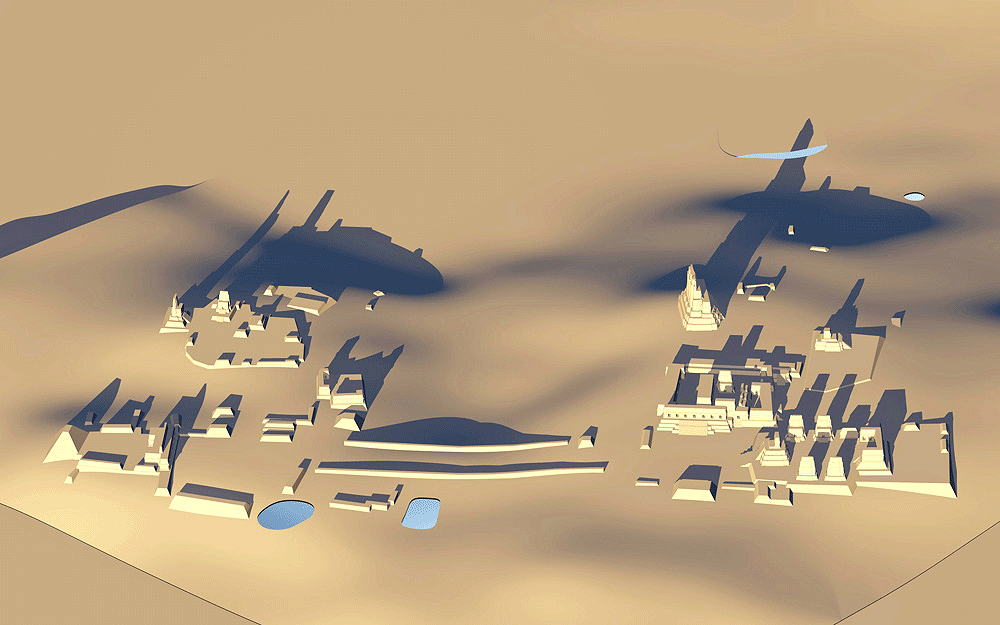
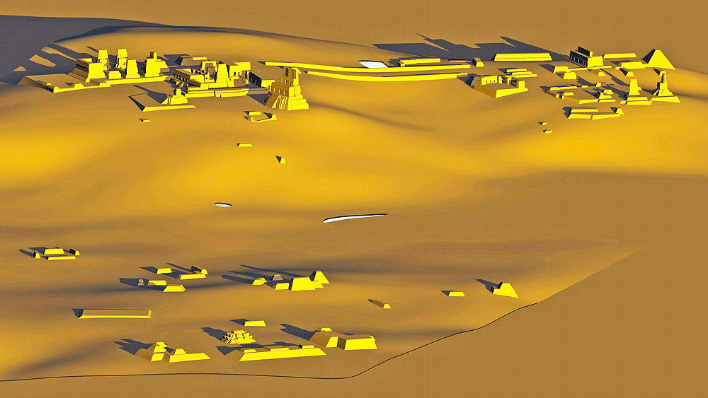
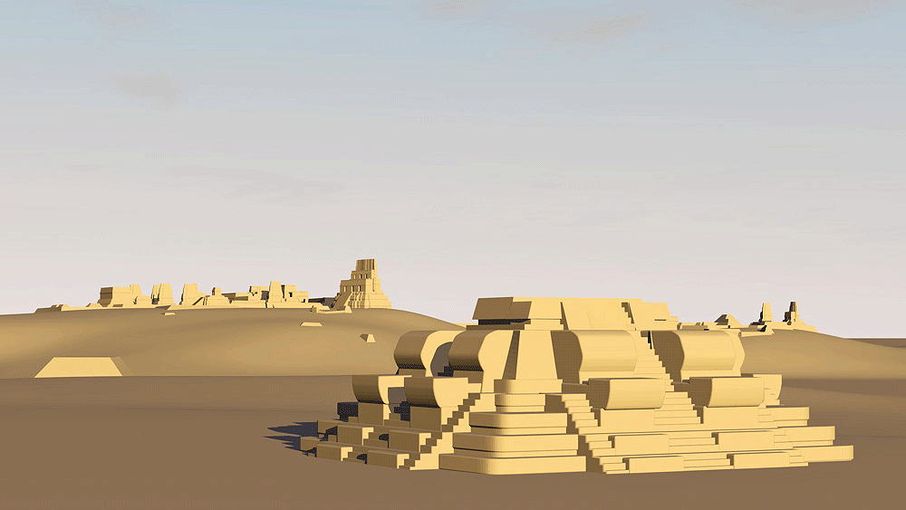
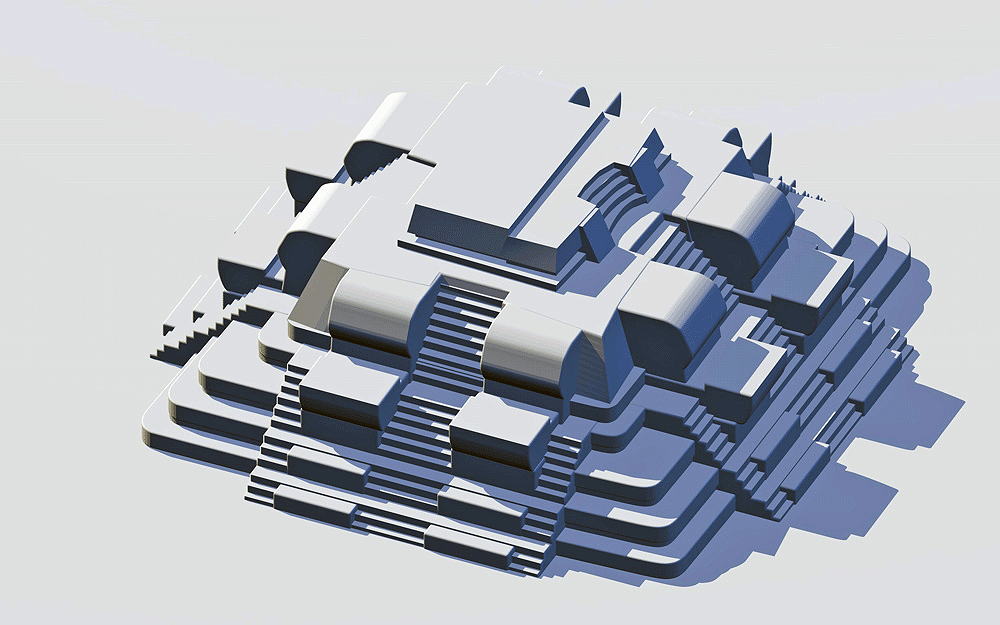
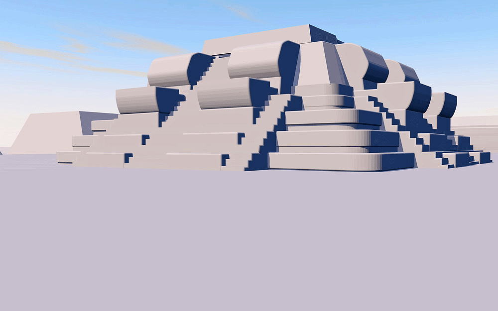
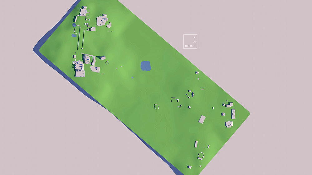
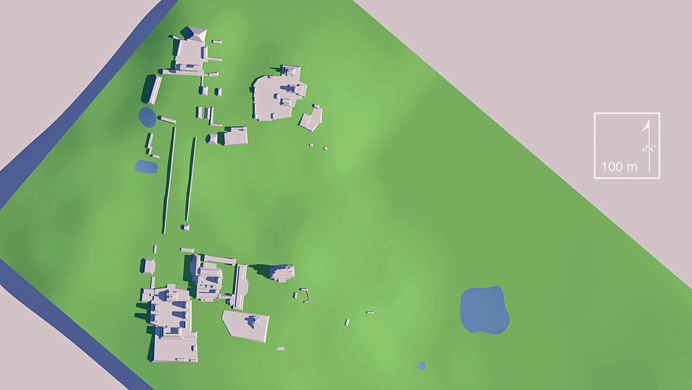
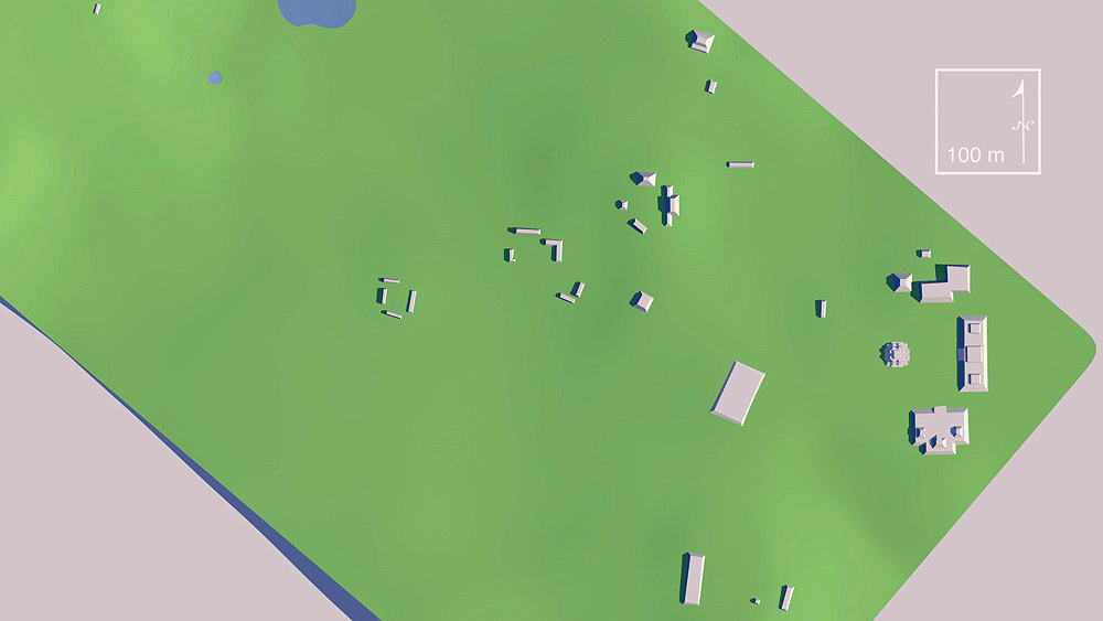
Uaxactun
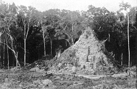
Maya Civilization, From Late PreClassic to Classic Period, 200 B.C.E. - 850 C.E.; located in the Department of Peten, Guatemala, 12 miles north of the ancient site of Tikal.
Elevation is c. 218 meters (714 feet) above sea level.
Materials: stone.
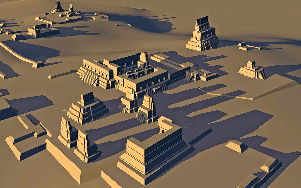
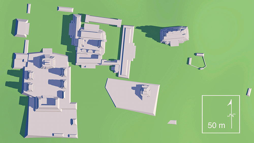
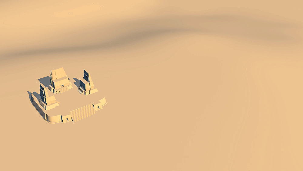
Data for CG model:
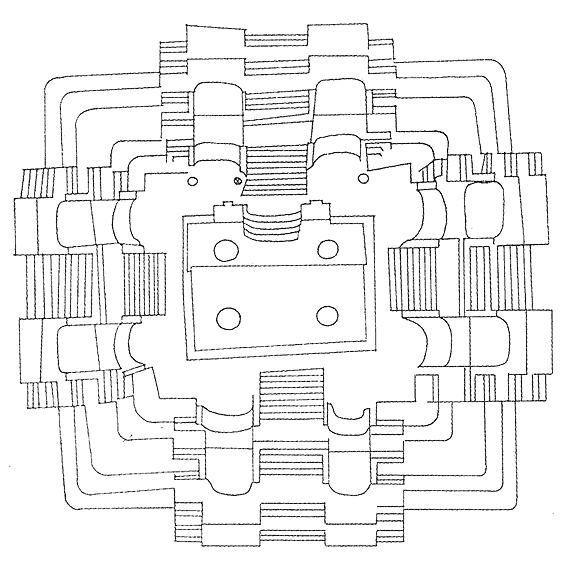
1.Proskouriakoff, Tatiana, 1946. An Album of Maya Architecture, Carnegie Institution of Washington, Washington, DC,
2.Map: The Ruins of Uaxactun, Based on mapping by F. Blom, O.G. Ricketson, and E.M. Shook, for Carnegie Institution of Washington, Washingon, D.C., 1926-1937.
3.Andrews, George F., 1975. Mayan Cities, Placemaking and Urbanization, University of Oklahoma Press, Norman, Oklahoma.
Thumbnail panels:
© 2021, Dennis R. Holloway Architect